Rapid LiDAR Laser Mapping within the Mining Industry

Let us help you!

Why Choose Measure Australia?

Here is why some of our clients prefer to work with us.
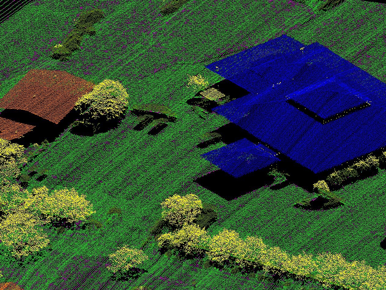
GolfcoursePointCloud

High Accuracy

Achieve accuracies of up to 35mm RMSE across thousands of hectares.
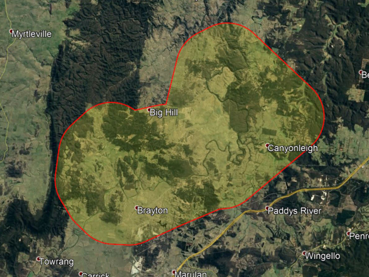
VastAreas

Rapid Mapping of Vast Areas

Up to 3500ha per day can be mapped, rapidly delivering site intelligence.
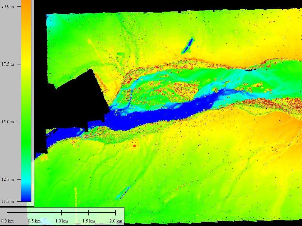
LiDARelev-1

Fast Processing

Data can be turned around within as little as 48 hours, delivering the relevant information for your needs.

Rapid LiDAR Laser Mapping within the Mining Industry

✔ Raw Point Clouds
Classified Point Clouds
✔ Contours
Vectored Elements
Digital Terrain Models
Bare Earth Models

Digital Surface Models
Triangulated Networks
TIN Files
Stockpile Audits
Road Surveys
Mine Plans & Layouts

Chat with a specialist about your needs!